Photo album
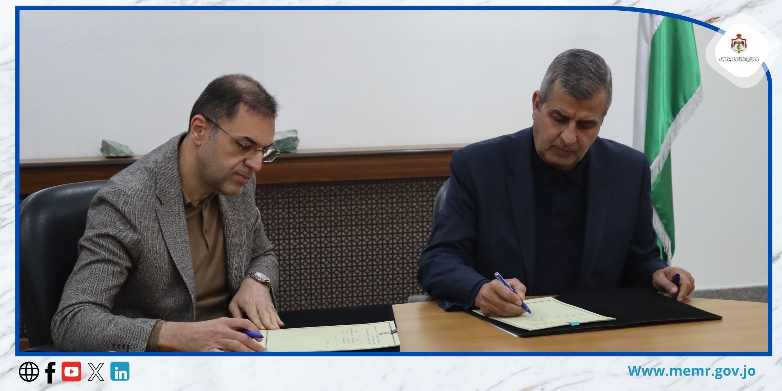
March 5, 2025 – The Minister of Energy and Mineral Resources, Dr. Saleh Al-Kharabsheh, signed a cooperation agreement today, Wednesday, with the General Manager of Tajans Company for Ownership and Establishment of Commercial Projects, Dr. Khalil Abu Al-Rub, to enhance cooperation in geological studies and mineral exploration.
Al-Kharabsheh affirmed that this agreement is a continuation of the ongoing efforts in geological surveying in Jordan, aiming to produce an accurate mineral map using drones, an advanced technology widely used globally. He noted that the ministry seeks to obtain reliable results to determine the locations and quantities of undiscovered mineral resources.
He added that the ministry is currently negotiating with four companies to conclude executive agreements, expecting positive outcomes soon.
For his part, Dr. Khalil Abu Al-Rub stated that the company relies on modern technology in exploration operations to determine the quantities and depths of mineral resources in targeted areas, as well as to discover new sites. He pointed out that the company’s survey operations are followed by comprehensive field studies, including sending technical teams to collect samples and conduct necessary analyses.
In this context, the Director of the Geology and Mining Directorate, Hisham Al-Zayoud, explained that the agreement includes completing geological survey and mineral exploration work using the latest technologies, with a focus on developing strategies for the exploitation of natural resources in the Kingdom.
Al-Zayoud added that under the previous memorandum of understanding with the ministry, the company completed the procedures for importing drones by obtaining the necessary security and logistical permits. This technology is expected to improve planning and exploration processes by creating detailed maps illustrating the geological distribution of mineral resources across the Kingdom, enhancing investment opportunities in the mining sector.
It is worth noting that the previous memorandum included preparatory procedures for importing drones to conduct aerial geological surveys, aiming to produce a mineral map of Jordan within a strategic framework designed to support the mining sector and provide accurate data to enhance investment decisions in natural resources.